Orion drone
Orion is a fully automated, unmanned aerial system (UAS) made for military, law enforcement and civilian applications. It is designed to provide continuous day and night aerial intelligence, surveillance and reconnaissance (ISR) data over large areas to protect combat troops in the battlefield.
Technical Specifications
| Arms | 6 |
| Hovering altitude | 80 |
| Flight time | +10 |
| Payload | |
| Camera | 1080 |
| 30 | |
| 1 | |
| Positioning | |
| Safety battery | 3 |
| Windspeed sustainability | 35-50 |
Overview
It can also be used to provide uninterrupted aerial coverage for applications such as observation, emergency communications, force protection, crowd control, event security, and traffic monitoring. The civilian applications of the Orion UAS include private security, disaster recovery, public safety, and first responder.
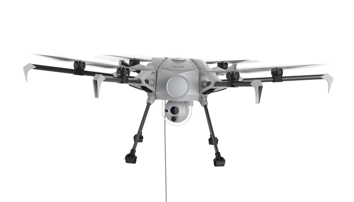
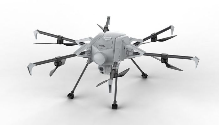
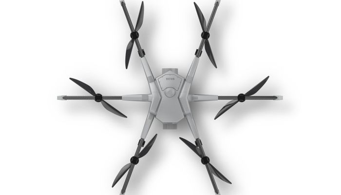
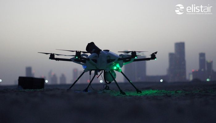
The air vehicle has six removable rotor arms with a pair of rotor blades each mounted on a rotating support mast. It has a modular design and integrates a built-in fault-detection system to improve mission safety. The man-portable UAS can be easily disassembled and packed in a rugged and compact case. The aircraft also features an emergency parachute system, which enables it to head back to the launch point in the event of emergency.
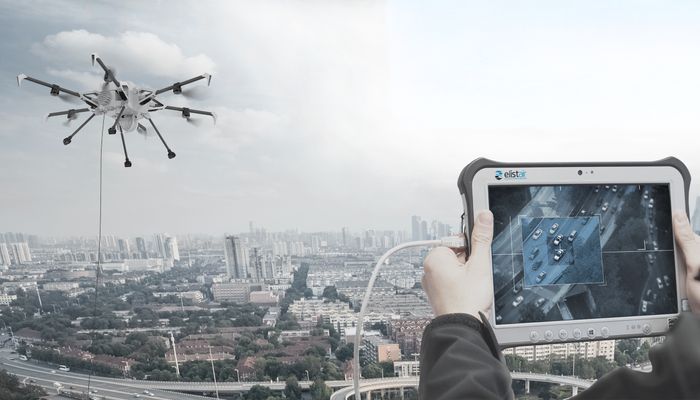
A two-axis, gyro-stabilised electro-optical/infrared (EO/IR) gimbaled platform installed under the fuselage will provide high-resolution images and persistent ISR data in all weather, day and night conditions. The multi-sensor gimbal incorporates Flir and Sony industrial sensors, including a full high-definition (HD) 1080p daylight camera with 30x optical zoom, and an X4 infrared camera, which can produce a thermal image up to 640 x 512 pixels. The cameras can detect and track a moving person or object over a distance of 10km.
The ISR data, HD imagery and video captured by the onboard sensors are transmitted to the ground control station through a secure, high-speed Safe-T micro-tether in real-time at a rate of 200Mbps. The Black box installed aboard the UAV enables recording of data for post flight analysis.
Navigation and real-time positioning for the Orion UAS are provided by the onboard global positioning system (GPS)/global satellite navigation system (GLONASS)/Beidou navigation satellite system (BDS).
The tethered unmanned air vehicle is remotely controlled by operator from the ground station using a control pad, which displays the drone’s flight path and positioning data.
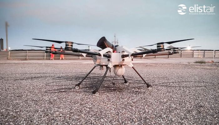
The drone can perform a fully automated flight from take-off to landing using the on-board flight control unit with push button interface, while allowing the operator to focus on the mission. It is fitted with four landing legs that allow take-off and landing on uneven surfaces.
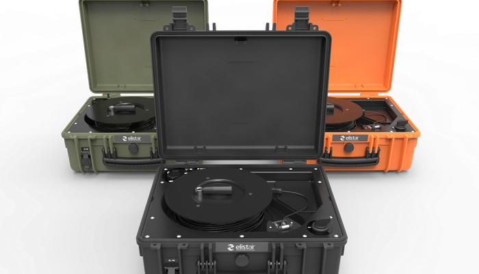
The UAS is tethered to a fully programmable Elistair Safe-T micro-tether station, which facilitates data connection and power transfer between the UAS and ground station. The operator can also send mission objectives to the drone through the Safe-T micro-tether. Operated remotely using a computer, the tether system eliminates interference and jamming.
References
Describes the UAV, it's key features, applications, and allows you to download a brochure.
